 This project has received funding from the European Union’s Horizon 2020 research and innovation programme under grant agreement No 642224

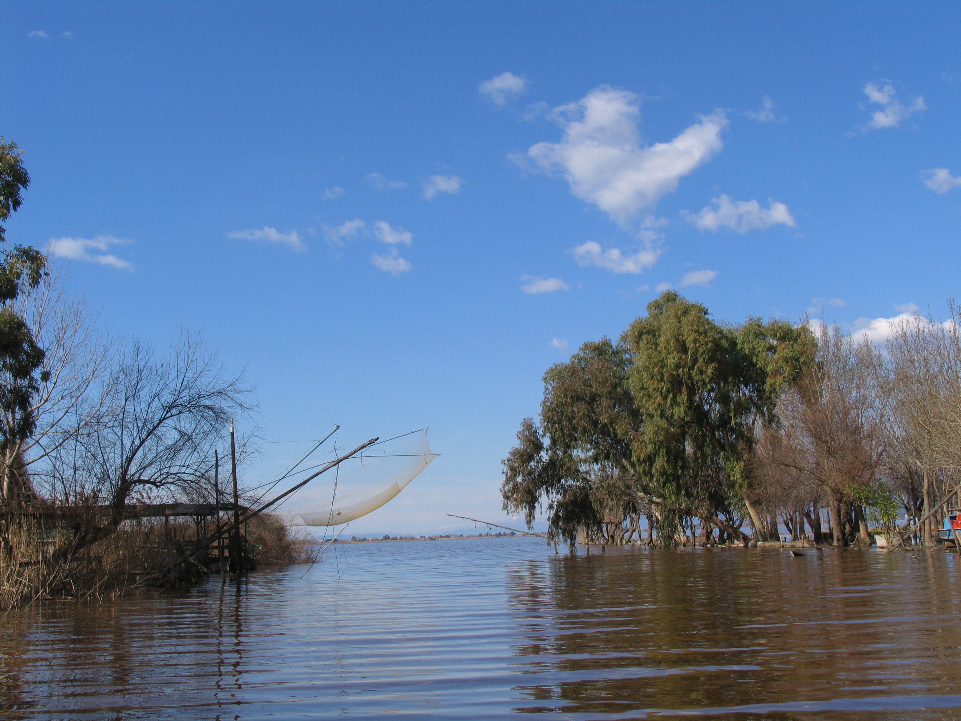
The Lake of Massaciuccoli (7 km2 wide and about 2 m deep) and its palustrine nearby areas (about 13 km2 wide) constitute a residual coastal lacustrine and marshy area largerly drained by 1930.
Since reclamation of the peaty soils started, subsidence began (2 to 3 m in 70 years), leaving the lake perched and central respect the low drained area, now 0 to -3 m below m.s.l., and requiring 16 km embankment construction.
During the dry summer season, the lake undergoes a severe water stress, that, along with nutrients input, causes the continuous ecosystem degradation resulting in water salinisation and eutrophication. Water stress results in a head decrease below m.s.l., causing seawater intrusion along the main outlet, and reaching its highest point at the end of the summer season (common head values between -0.40 and -0.5 a.m.s.l.).
This causes a not sustainable balance between the socio-economic system and the natural one. It is then clear, that in order to reduce the water stress, a new water management strategy in the whole basin must be devised by revising and enhancing the irrigation schemes and the residential, industrial and tourism water distribution scheme.