JOIN THE FREEWAT FAMILY!
FREEWAT (FREE and open source software tools for WATer resource management) is an HORIZON 2020 project financed by the EU Commission under the call WATER INNOVATION: BOOSTING ITS VALUE FOR EUROPE.
FREEWAT main result is an open source and public domain GIS integrated modelling environment (the FREEWAT platform) for the simulation of water quantity and quality in surface water and groundwater with an integrated water management and planning module.
If you are interested in water management and in simulation tools (and you are especially dealing with groundwater management) please visit the Software and Training page of this web site.
FREEWAT is conceived as a composite plugin for the well-known QGIS (http://qgis.org)GIS open source desktop software.
Should you be using FREEWAT for your work or research, whenever you need to cite the software, please use the following citation:
Rossetto, R., De Filippis, G., Borsi, I., Foglia, L., Cannata, M., Criollo, R., Vázquez-Suñé, E., 2018. Integrating free and open source tools and distributed modelling codes in GIS environment for data-based groundwater management, Environmental Modelling & Software, 107:210-230
You can find an updated list of open access peer-reviewed papers, conference papers and MSc thesis on FREEWAT at the following links:
We welcome adding to our webpage papers, technical reports or abstracts of MSc thesis describing work or research done using FREEWAT.
If you wish your FREEWAT-related work to be accessible through our website, please write to mailinglist@freewat.eu
As composite plugin, FREEWAT is designed as a modular ensemble of different tools: some of them can be used independently, while some modules require the preliminary execution of other tools. In this framework, the following tool classifications can be defined:
Tools for the analysis, interpretation and visualization of hydrogeological and hydrochemical data and quality issues, also focusing on advanced time series analysis, embedded in akvaGIS module.
Simulation of models related to the hydrological cycle and water resources management: flow models, transport models, crop growth models, management and optimization models (also related to irrigation management and rural issues).
Tools to perform model calibration, sensitivity analysis and uncertainty quantifications.
Additional tools for general GIS operations to prepare input data, and post-processing functionalities (module OAT – Observation and Analysis Tool).
FREEWAT aims at promoting water resource management by simplifying the application of the Water Framework Directive and other EU water related Directives.
Specific objectives of the FREEWAT project are:
- to coordinate previous EU and national funded research to integrate existing software modules for water management in a single environment into the GIS based FREEWAT;
- to support the FREEWAT application in an innovative participatory approach gathering technical staff and relevant stakeholders (in primis policy and decision makers) in designing scenarios for the proper application of water policies.
The open source characteristics of the platform allow to consider FREEWAT an initiative "ad includendum", as further research institutions, private developers etc. may contribute to the platform development.
Potential users of FREEWAT are Engineering and Geoenvironmental companies, River Basin Authorities, Water Authorities, Environmental Portection Agencies, University and Research Institutions.
FREEWAT run on Windows Operative System and so far on client side.
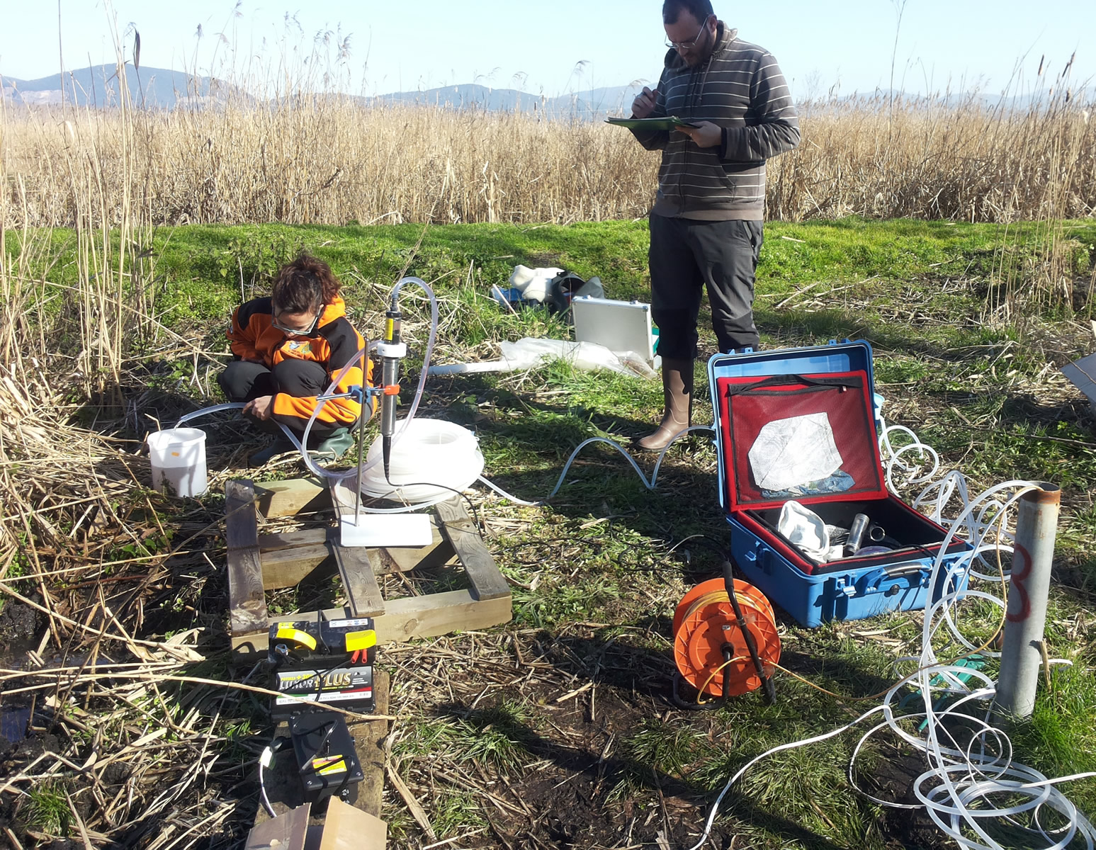
The FREEWAT platform is now tested at 14 case studies. To learn more about ongoing FREEWAT capabilities and case studies, please visit the Case study pages.
If you are interested in joining the FREEWAT group of developers, please send an e mail to: r.rossetto@santannapisa.it










 This project has received funding from the European Union’s Horizon 2020 research and innovation programme under grant agreement No 642224